Taiwan's Wetlands of Importance
Map of Taiwan's Wetlands

-
Number
TW062
-
Area
171 ha
-
Chinese Name
成龍濕地
-
Category
Coastal artificial wetland and small portions of natural wetland
-
Name
Chenglong Important Wetland
-
Administrative area
Kouhu Township, Yunlin County 120o09'30
-
Related plans
Coastal Protection Area
-
Related authorities or units
Yunlin County Government; Kouhu Township Office, Yunlin County
-
Boundaries
The wetland is situated at north of Neotiauwan River. It extends north to the intersection of Provincial Highway 17 and Yun Township Road 144, south to the river levee, and east to the circle route west of Chenglong Village.
-
Introduction
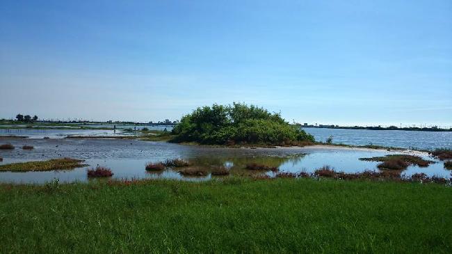
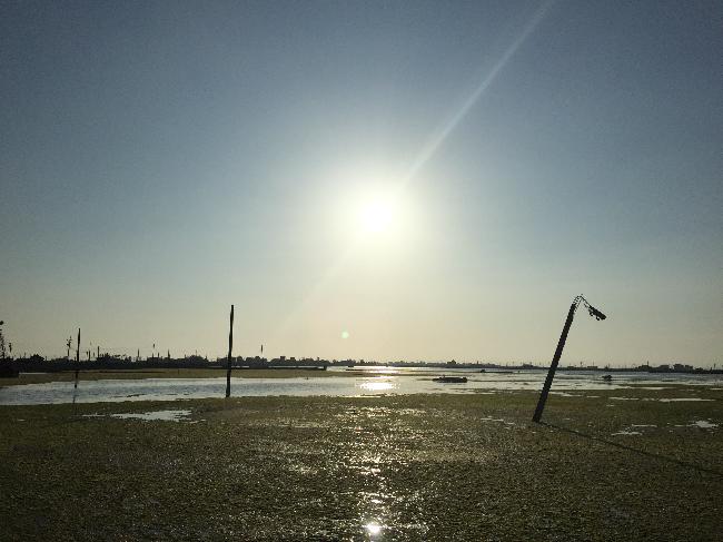
Originally a farmland, the wetland was severely damaged by Typhoon Wayne (1986) and Typhoon Herbert (1996), which caused long periods of flooding and water surges, rendering the area unsuitable for farming. The area has become salt-marsh wetland after several years of evolution and contains marshes, ponds, fish ponds, ditches, and some portions of unfarmed rice fields.
-
Ecological resources of importance
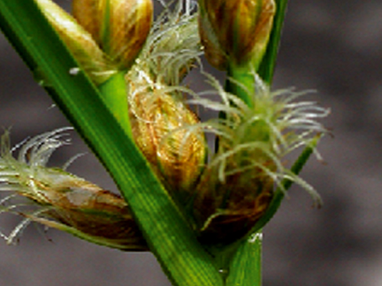
There are many aqua-culture ponds in the wetland raising Chanos chanos, Penaeus monodon,and Mugil cephalus. In September 2006, after many years of absence, Oryzias latipes was seen again. The plants include Bolboschoenus maritimus,etc..
-
Endangered species
Black-faced Spoonbill.
-
Rare and valuable species
Little Tern, Saunders' Gull, Common Kestrel, Painted Snipe, and Bolboschoenus maritimus.
-
Types to be conserved
Brown Shrike, Eastern Collared Pratincole.
-
The current situation and potential threats of wetlands
The land continues to subside, and the Water Resources Agency uses the farm to install detention ponds.
-
Participating in recommended units
Wetlands Taiwan.


