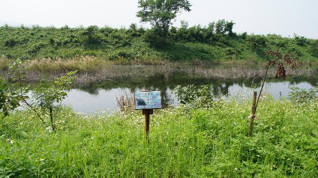
Taiwan's Wetlands of Importance
Map of Taiwan's Wetlands
-
Number
TW061
-
Area
2 ha
-
Chinese Name
草坔重要濕地
-
Category
Inland natural wetland
-
Name
Caodi Important Wetland
-
Administrative area
Zhushan Town, Nantou County
-
Related plans
National Scenic Area
-
Related authorities or units
Nantou County Government
-
Boundaries
This wetland is located in the concave formed between the ridgelines of Jingganshu Mountain and Lingtou Mountain north of Sun Link Sea Forest Recreation Area.
-
Introduction
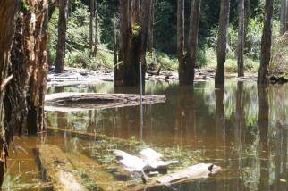
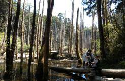
The wetland is located in the mountains southeast of Zhushan Township in Nantou County. The landslide during 921 earthquake created the quake lake. The water at the wetland is pristine and clear. The old trees and aquatic plants in the lake reflect upon each other, creating a beautiful image. The area is highly humid and surrounded by misty clouds year round, hence the name Misty Forest (Wangyou Lake).
-
Ecological resources of importance
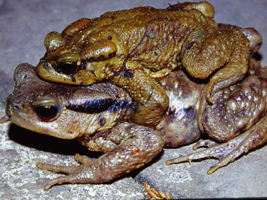
The forest surrounding the wetland offers a complete range of trees, and the vegetation is ideal for the habitat. The mountain streams flow year round. The natural confined water formed by the barrier lake is the breeding ground for aquatic insects and amphibians, including 7 rare animals and 10 rare plants.
-
Endangered species
N/A
-
Rare and valuable species
Cervus unicolor swinhoei.
-
Types to be conserved
Muntiacus reevesi micrurus.
-
The current situation and potential threats of wetlands
Some remaining tree trunks of Red Cypress (Chamaecyparis formosensis), and Taiwan Cypress, left by lumber smugglers, are destroyed and shipped out of the wetland.
-
Participating in recommended units
Nantou County Government.

